UAMTECH Logo
R.O.G.E.R.
Introducing R.O.G.E.R., the Remotely Operated Ground Exploration Rover developed by UAMTEC. Designed for capturing 4K high-resolution data in non-flooded and partially flooded tunnel environments, R.O.G.E.R. is equipped with state-of-the-art technology including UHD video and imagery, high-density LiDAR, sonar, and proprietary AI. This advanced rover enables seamless interpretation and manipulation of rich data sets, ensuring comprehensive insights from every mission.
roger/view2.png
R.O.G.E.R's Advanced Technology for 4K high-resolution Tunnel Exploration
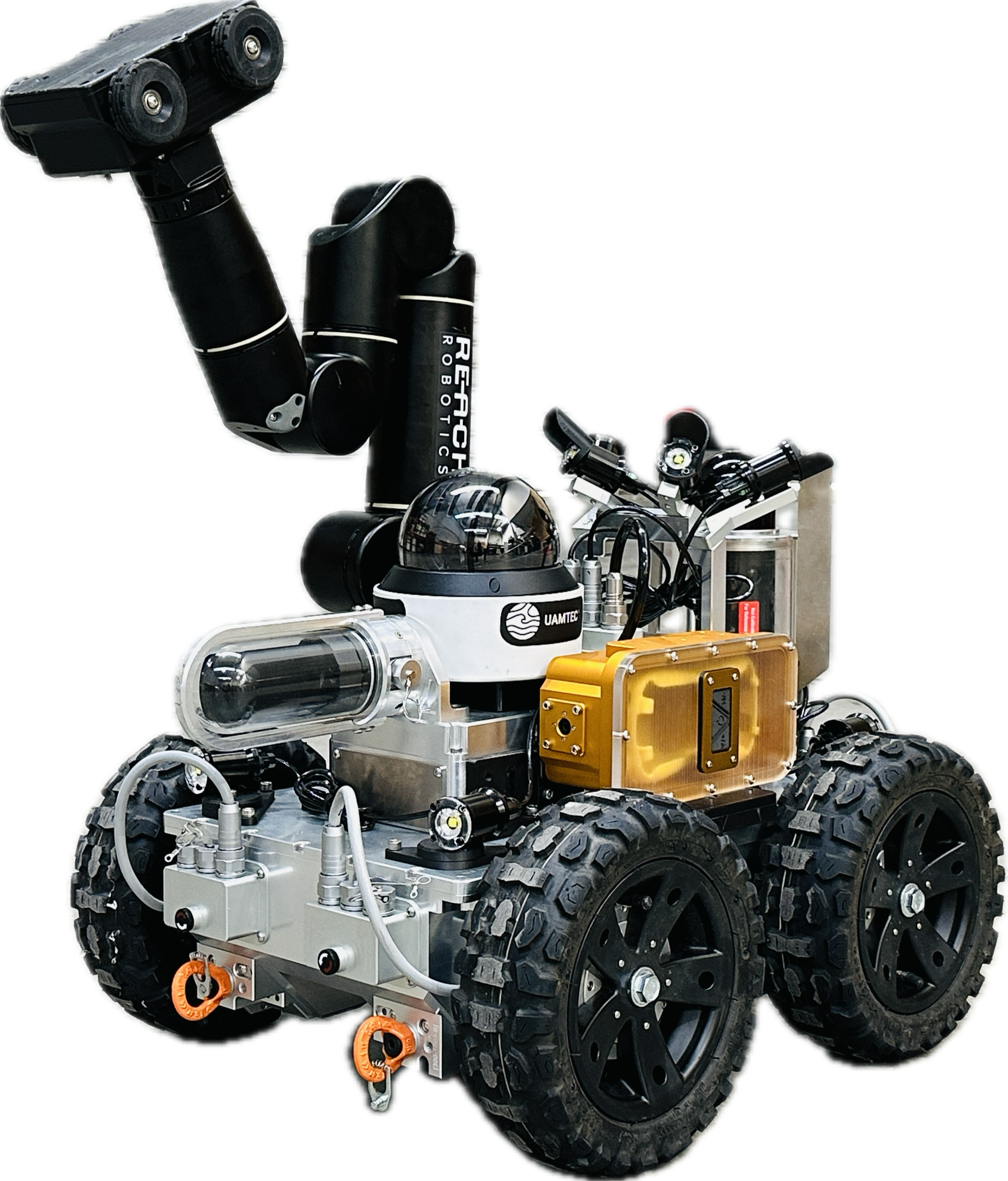
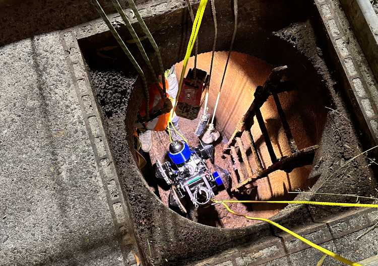
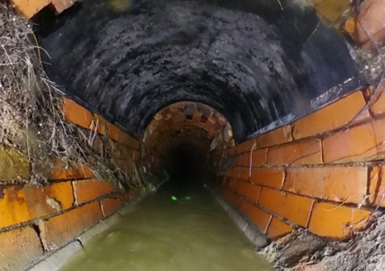
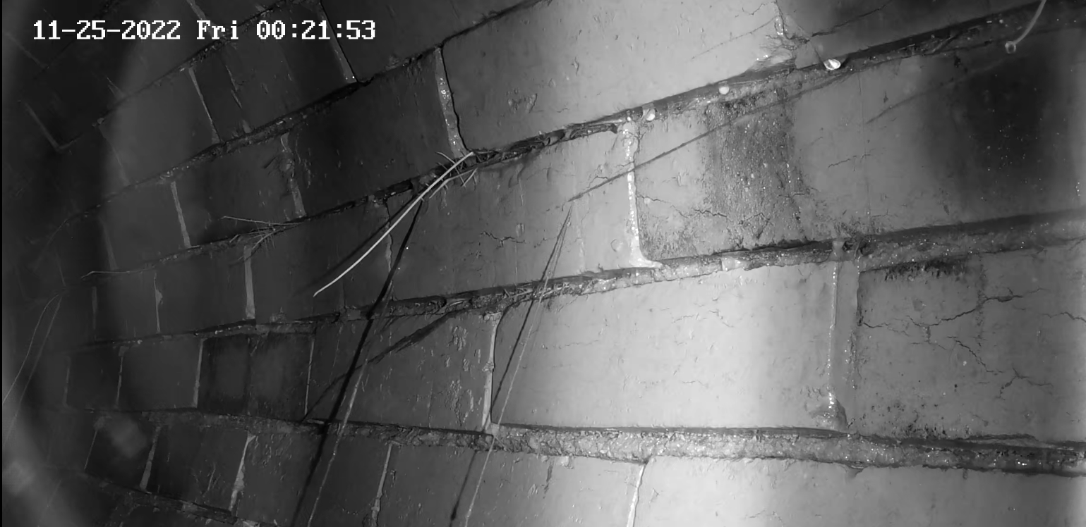
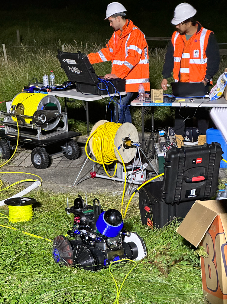
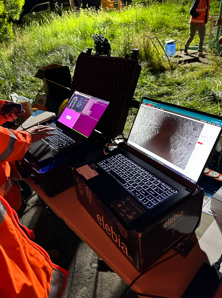
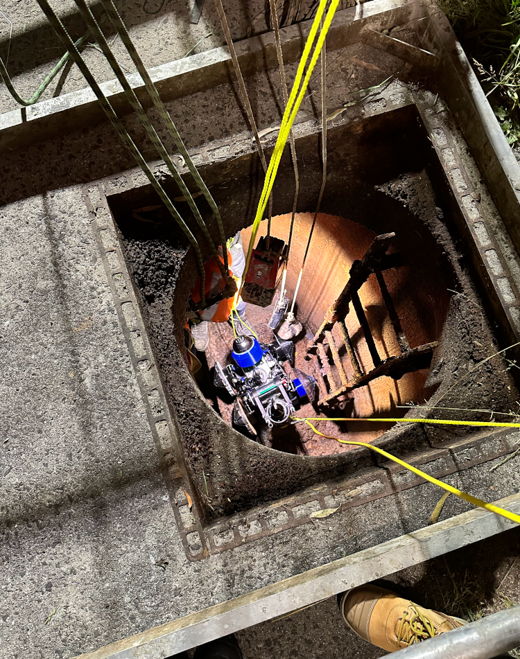
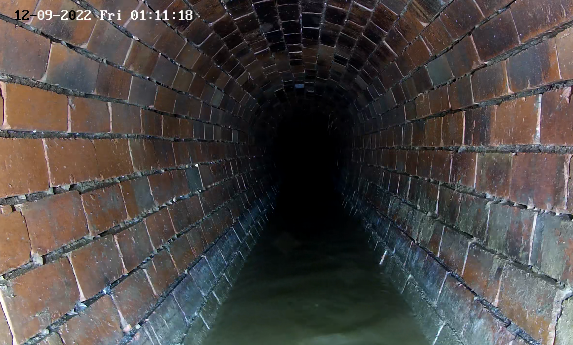
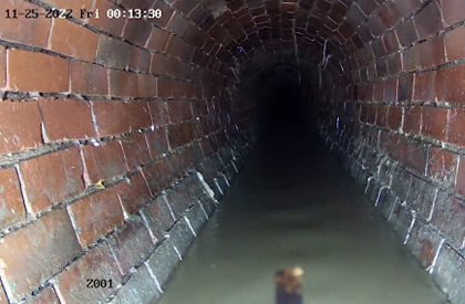
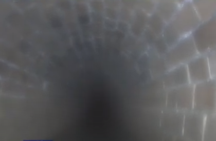
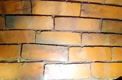
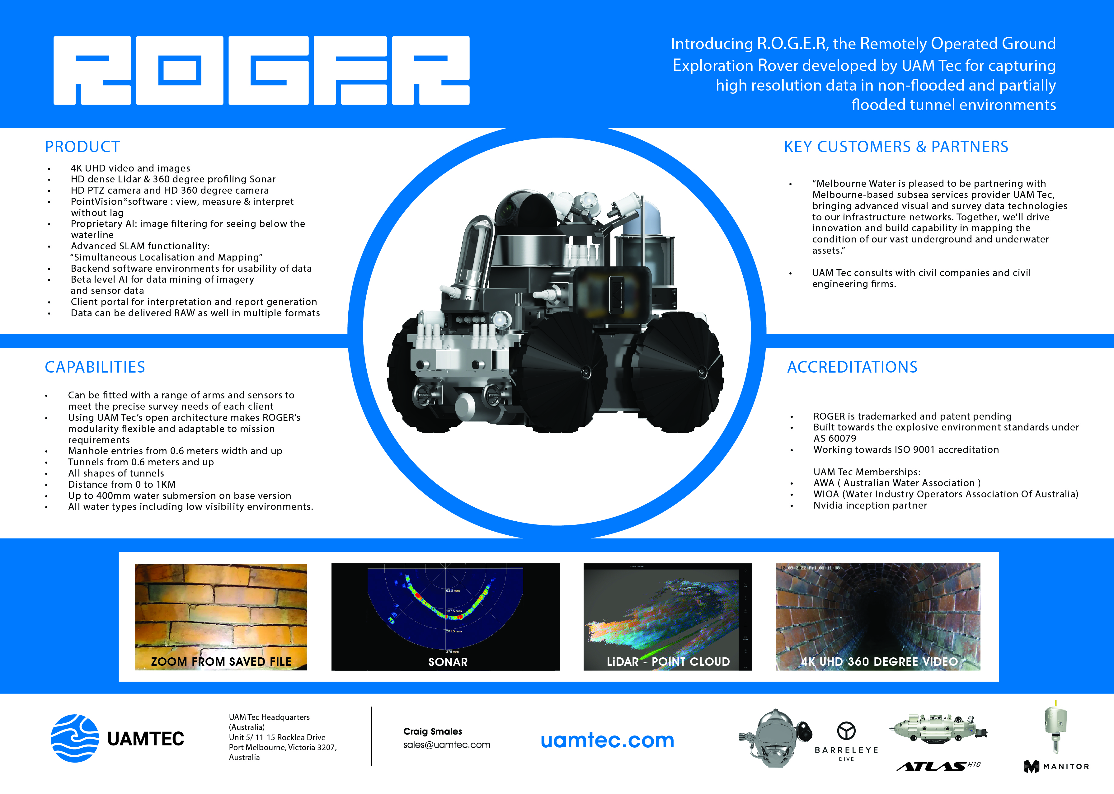
R.O.G.E.R. is a remotely operated ground exploration rover developed by UAMTEC for capturing 4K high-resolution data in non-flooded and partially flooded tunnel environments. It features UHD video and imagery, high-density LiDAR, and sonar, and is capable of missions up to 1400 meters.
UAMTEC's proprietary AI and open architecture solutions enable easy interpretation and manipulation of the rich data sets acquired.
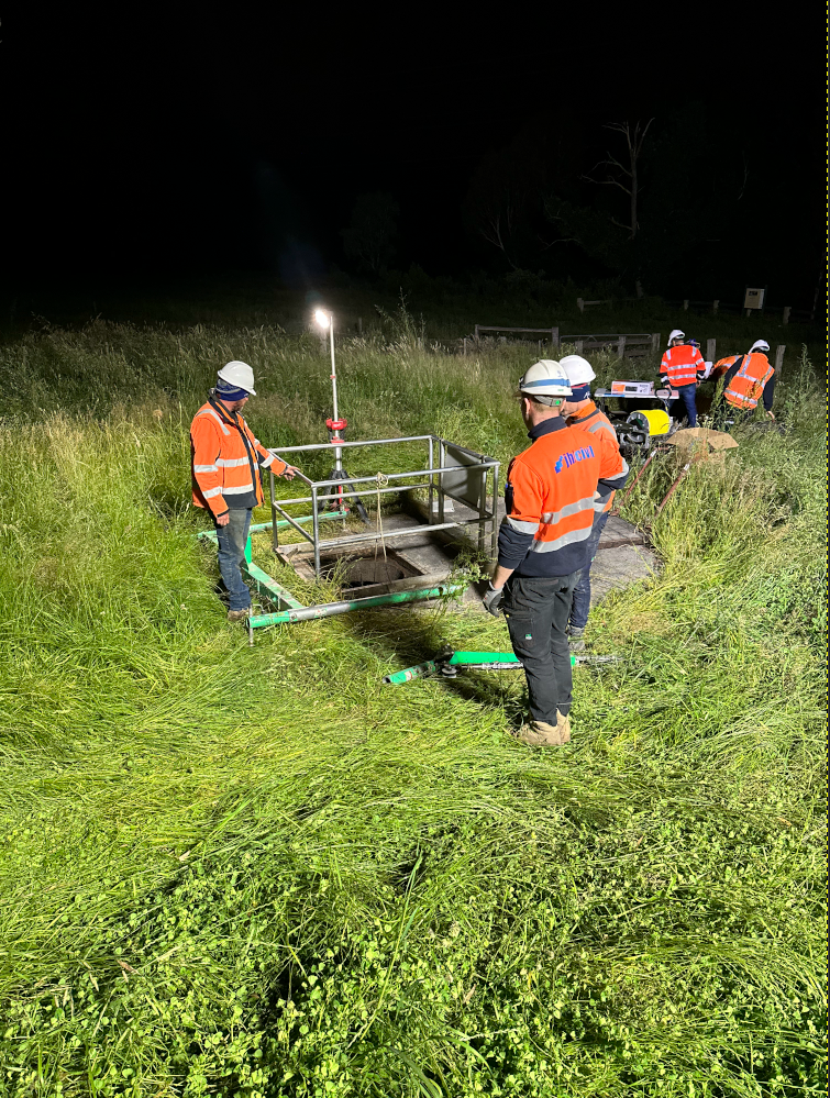
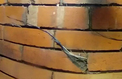
R.O.G.E.R. includes advanced features such as robotic arms, concrete scanning, metal detection, gas detection, and logging. Deployment is streamlined through collaboration with civil contractors, providing real-time UHD data streams to the surface for efficient data capture. The PointVision app allows clients to view, measure, and manipulate dense LiDAR sets with minimal lag or load times.
Remotely deployed
barreleye_mobile
UHD imagery
barreleye_mobile
Underwater imagery
barreleye_mobile
Point cloud
barreleye_mobile
Night vision
barreleye_mobile
barreleye_mobile
barreleye_mobile
barreleye_mobile
barreleye_mobile
barreleye_mobile
Streamlined Deployment: R.O.G.E.R's Collaboration with Experts for Efficient Deployment
At UAMTEC, we understand the importance of expertise in deployment, which is why R.O.G.E.R. was designed in collaboration with experienced civil contractors to ensure ease of use. With its pilot/co-pilot foundation, R.O.G.E.R. navigates obstacles and maintains stability while traversing manholes and various tunnel environments. Its built-in intelligence prevents tipping and enables self-leveling.
R.O.G.E.R. captures data in real-time with UHD streaming to the surface, guaranteeing accurate data capture on the first try. This allows for thorough inspection of obstacles before breaching and examination of major damages. Data can be provided to clients in its raw form or refined for their convenience.
Our PointVision app enables clients to easily view, measure, annotate, and manipulate dense LiDAR sets without any lag or long load times. UAMTEC has invested years of effort in perfecting its suite of supporting software to ensure the data collected can be effectively utilized by clients.
360 Degrees of Freedom at your Fingertips
Go ahead and look around. Our 4k UHD camera allows a full capture of the environment for viewing as an image snapshot and even the videos through our custom user interface.
Comparing Technology
At UAMTEC, we believe in demonstrating the superiority of our technology through direct comparisons. In this section, we present a side-by-side comparison of images captured by R.O.G.E.R. and those taken by our competition in the same tunnel and within a short time frame between their survey and ours.
These comparisons highlight the precision and clarity of R.O.G.E.R.'s UHD video and imagery, showcasing the advanced capabilities of our technology in capturing detailed, 4K high-resolution data. Our images reveal the intricate details and potential issues within the tunnel environment, providing a stark contrast to the less detailed images produced by the competition.
By consistently delivering superior results, R.O.G.E.R. ensures that our clients receive the most accurate and actionable data for their projects. This commitment to excellence sets UAMTEC apart in the industry.
R.O.G.E.R. Front View
barreleye_mobile
Competitor's Front View
barreleye_mobile
R.O.G.E.R. Detail Level
barreleye_mobile
Competitor's Detail Level
barreleye_mobile
R.O.G.E.R. Detail Panoramic View
barreleye_mobile
Competitor's Panoramic View
barreleye_mobile
Get a comprehensive overview of the R.O.G.E.R with our detailed Quad Chart. This chart provides key insights, features, benefits, and technical specifications to help you understand how the R.O.G.E.R can meet your needs. Click the link above to download and explore the innovative capabilities of the R.O.G.E.R.
R.O.G.E.R. in Action
Discover the capabilities of R.O.G.E.R., our advanced inspection system designed for precise and efficient tunnel and shaft inspections. Watch the video to see R.O.G.E.R. in action, demonstrating its robust performance and cutting-edge technology in real-world applications. For a comprehensive understanding, higher definition LiDAR scans and detailed analysis are available through our PointVision software.