 Privacy Statement
Terms & Conditions
Privacy Statement
Terms & Conditions
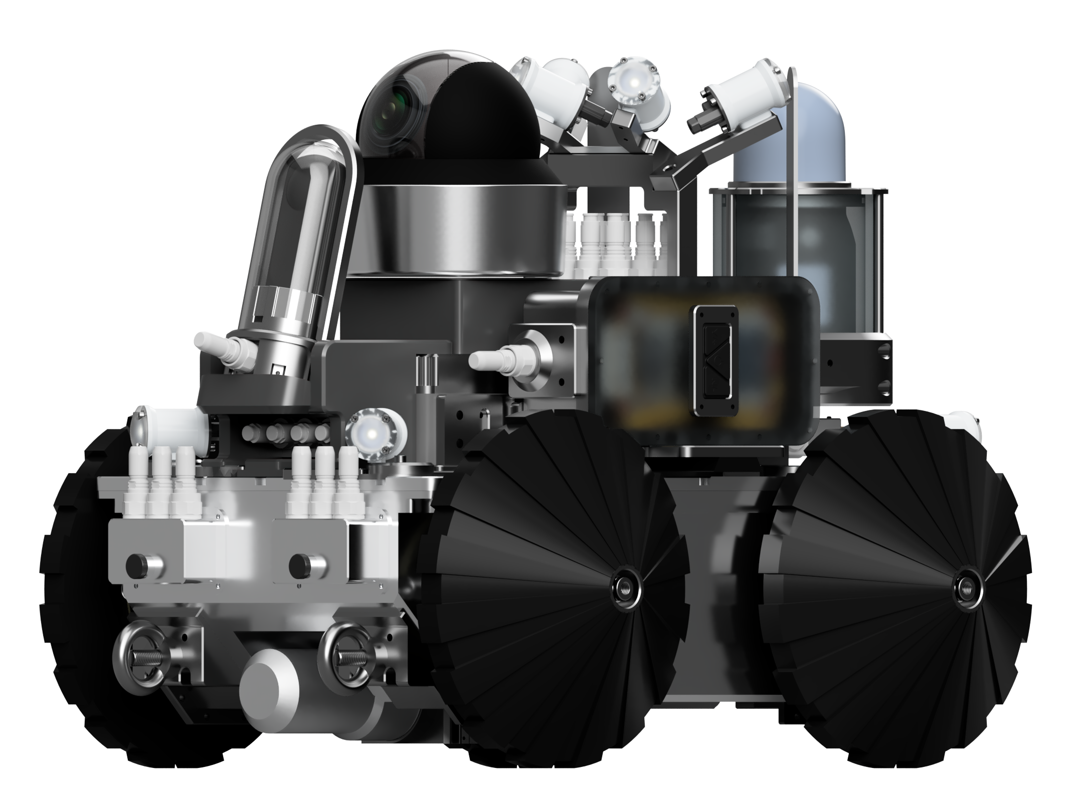
R.O.G.E.R.
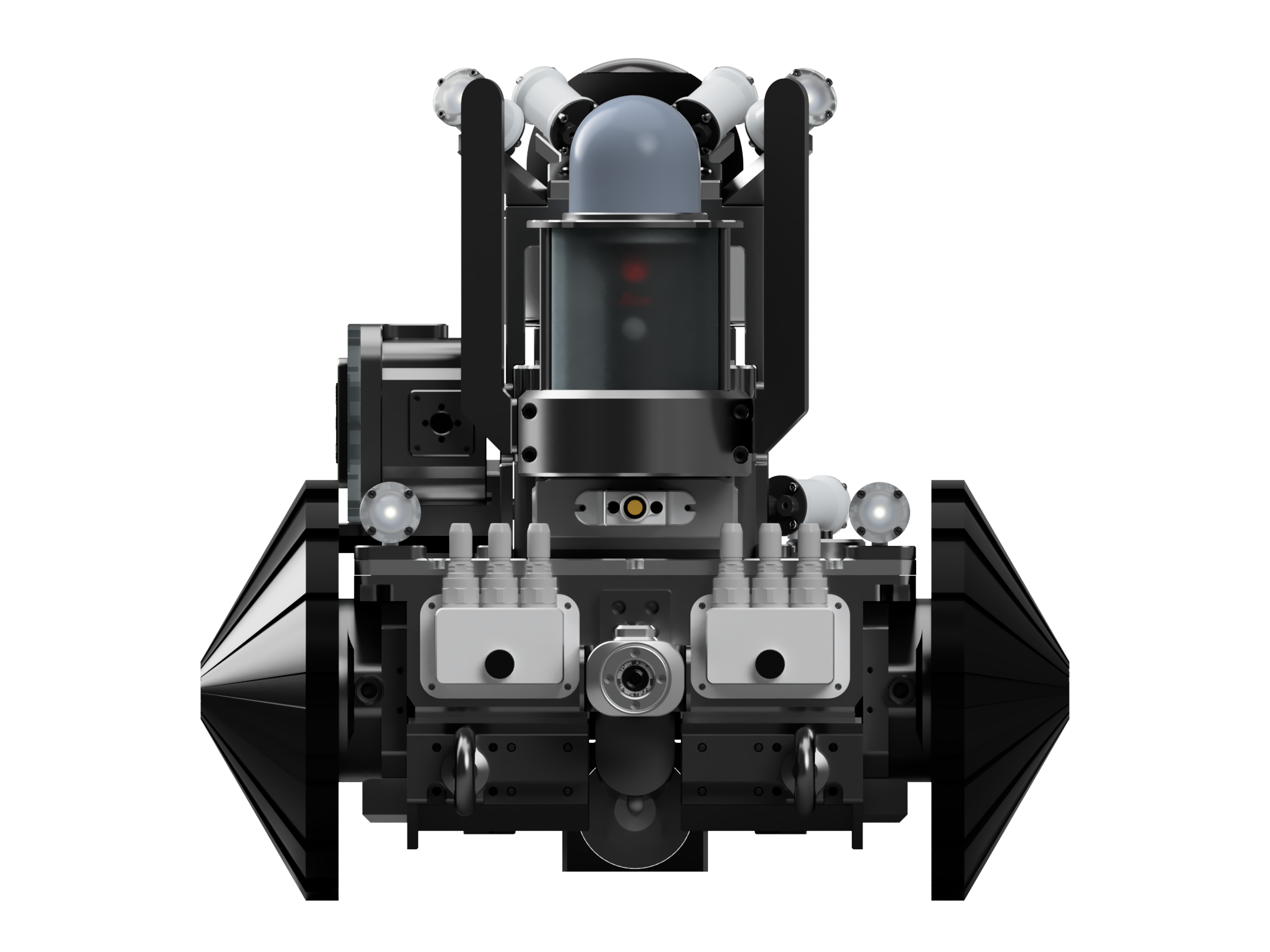
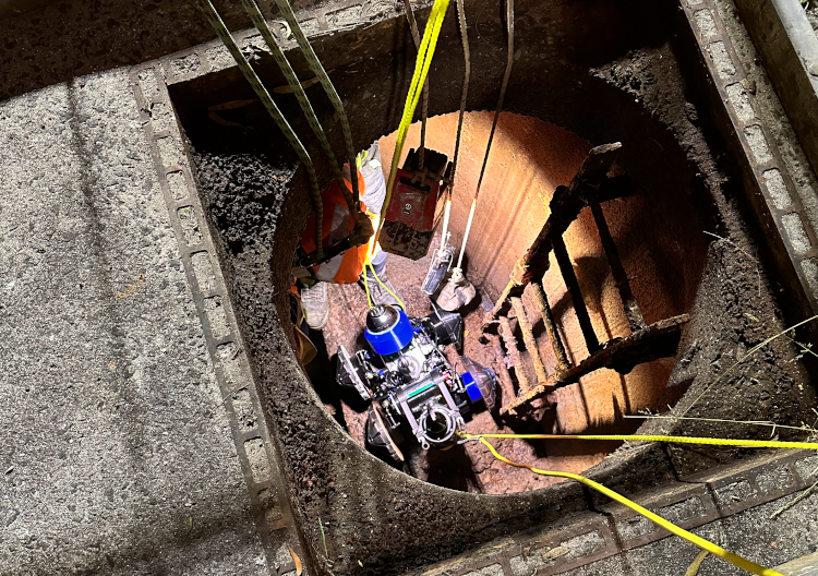
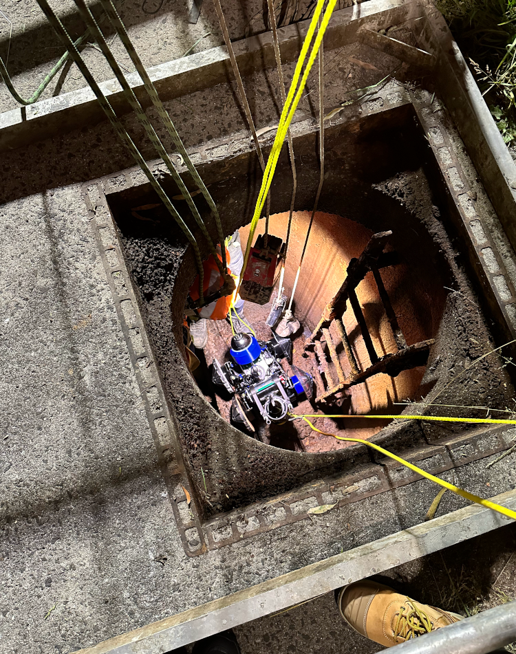
Introducing R.O.G.E.R, the Remotely Operated Ground Exploration Rover developed by UAM Tec for
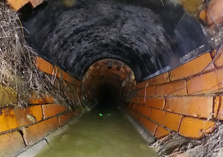
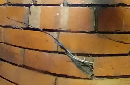
capturing high resolution data in non-flooded and partially flooded tunnel environments. Equipped
with state-of-the-art technology such as UHD video and imagery, high density lidar and sonar, and
proprietary AI, R.O.G.E.R is capable of providing easy interpretation and manipulation of rich data
sets acquired in its missions.
Unlocking the unseen: R.O.G.E.R's advanced technology for high resolution tunnel exploration
- R.O.G.E.R. is a remotely operated ground exploration rover developed by UAM Tec for capturing high resolution data in non-flooded and partially flooded tunnel environments. It features UHD video and imagery, high density lidar and sonar, and is capable of missions up to 700 meters.
- UAM Tec's proprietary AI and open architecture solutions are used to provide easy interpretation and manipulation of the rich data sets acquired.
- R.O.G.E.R. is currently in testing with additional features such as robotic arms, concrete scanning, metal testing, gas detection, and logging. Deployment is made easy with collaboration with civil contractors, and real-time UHD data streams to the surface for data capture. The PointVision app allows clients to view, measure, and manipulate the dense Lidar sets with minimal lag or load times.
 Remotely deployed
 UHD imagery
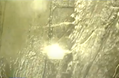
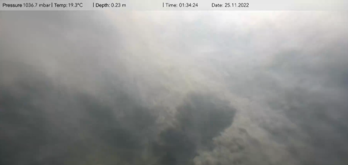 Underwater imagery
 Point cloud
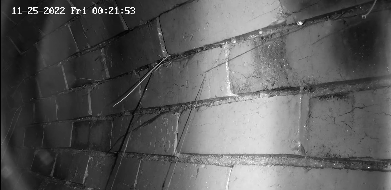 Night vision
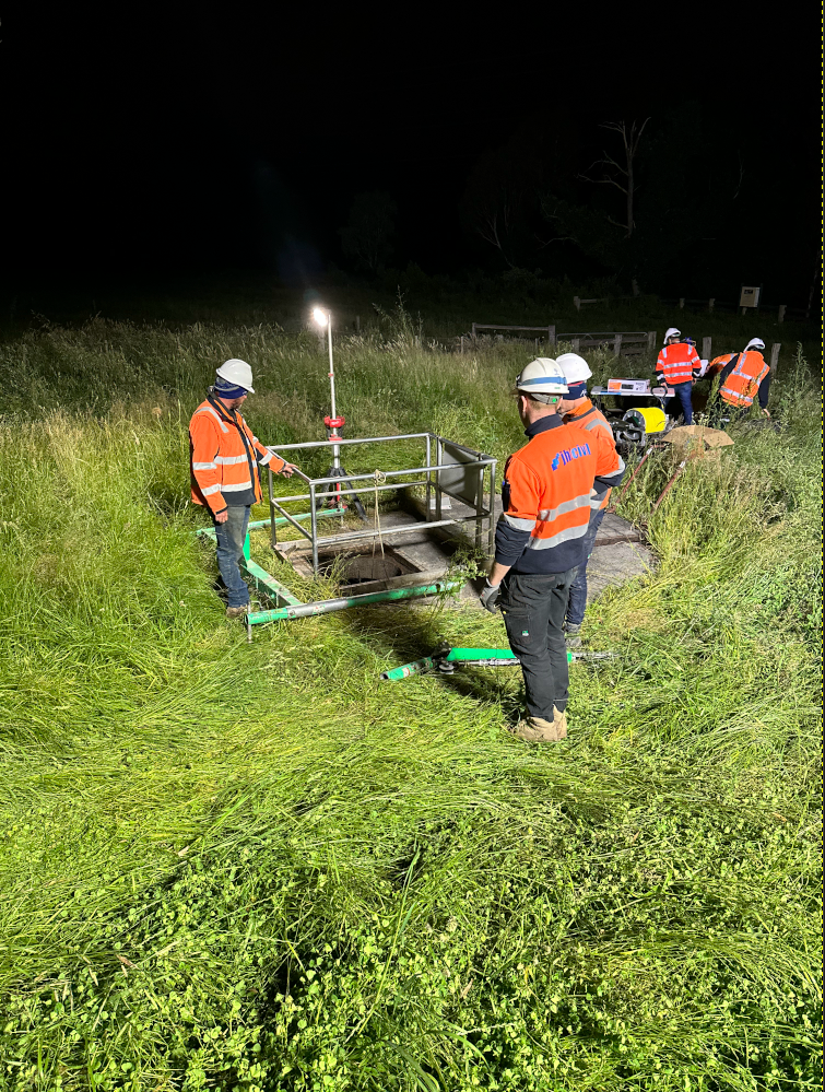
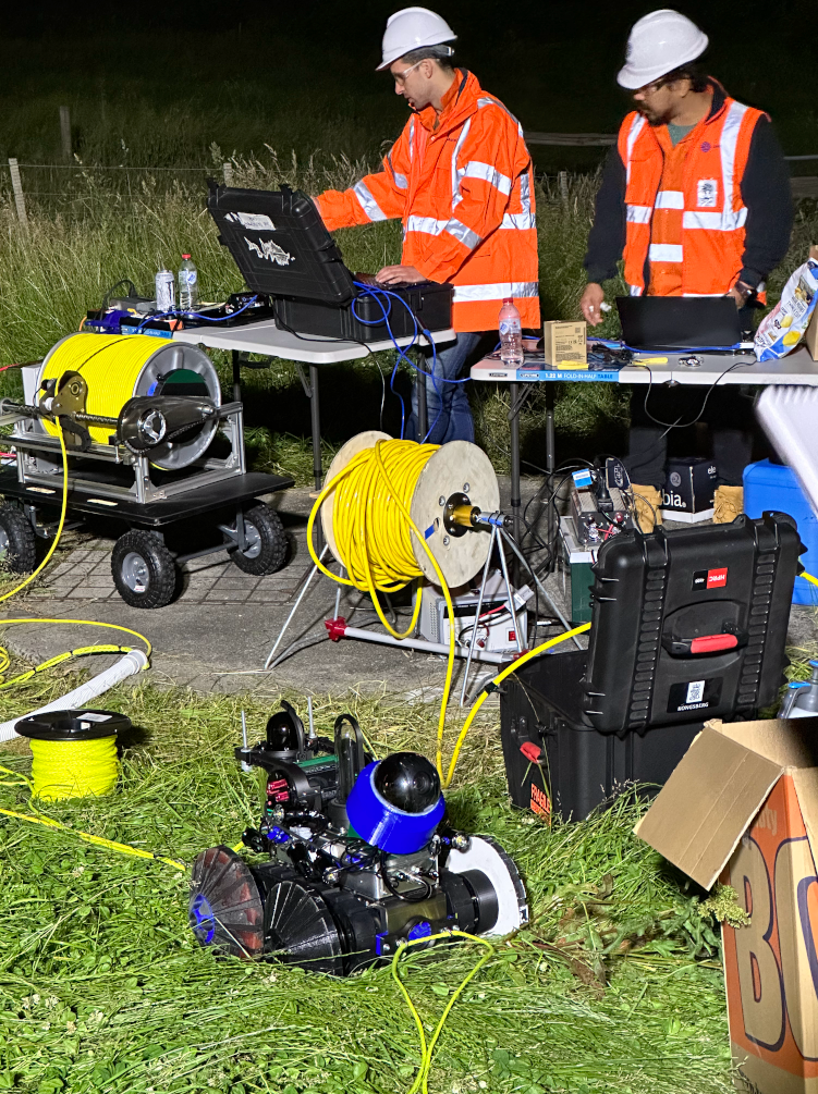
Streamlined deployment: R.O.G.E.R's collaboration with experts for efficient deployment
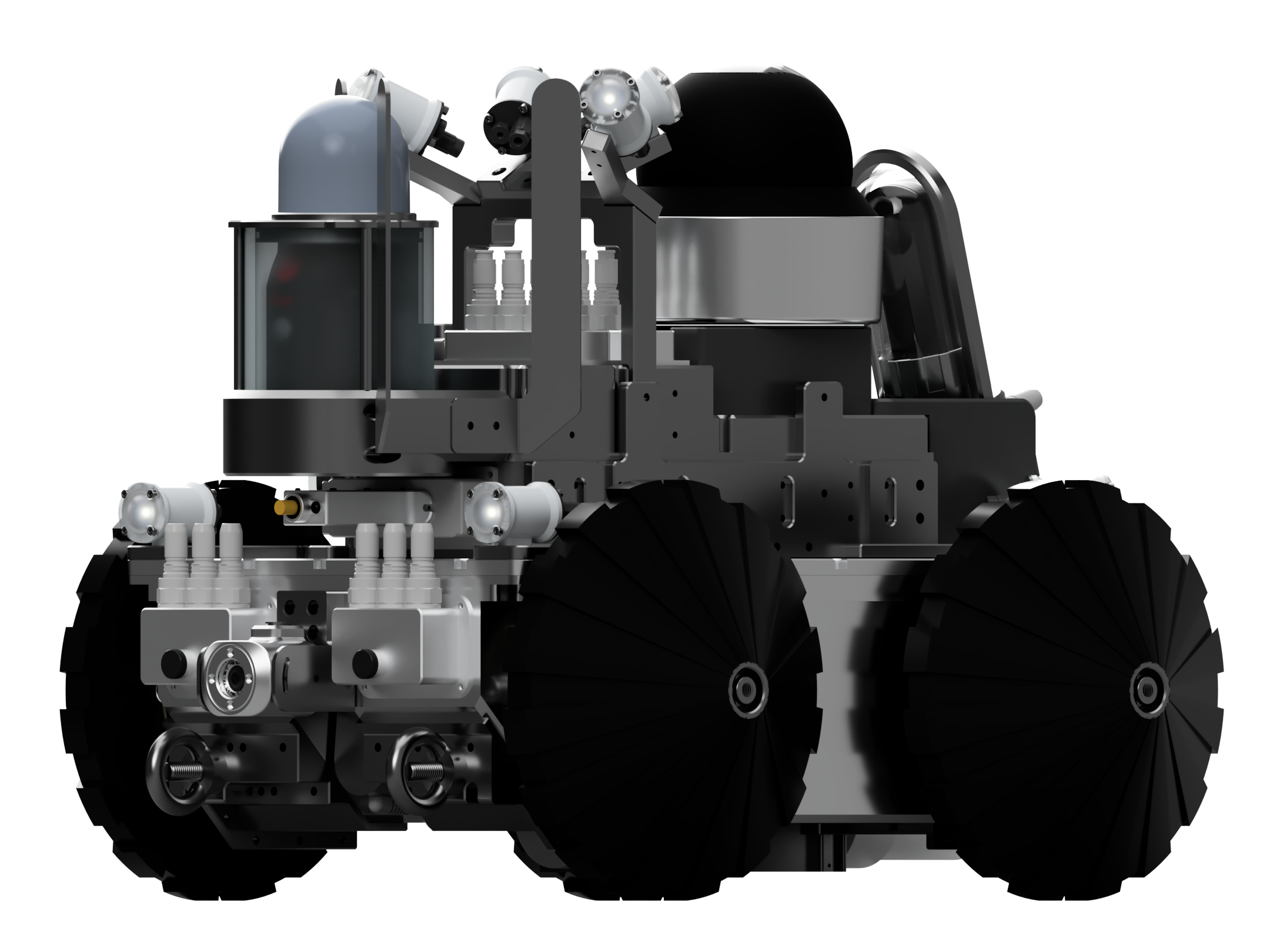
- At UAM Tec, we understand the importance of expertise in deployment, which is why R.O.G.E.R. was designed in collaboration with experienced civil contractors to ensure ease of deployment. With its pilot/co-pilot foundation, R.O.G.E.R. is able to navigate obstacles and maintain stability as it traverses through manholes and various tunnel environments, thanks to its built-in intelligence that prevents tipping and enables self-leveling.
- R.O.G.E.R. captures data in real-time with UHD streaming to the surface, guaranteeing accurate data capture on the first try. This allows for thorough inspection of obstacles before breaching and examination of major damages. The data can be provided to clients in its raw form or refined for their convenience.
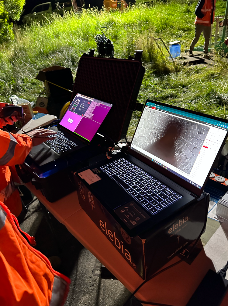
- Our PointVision app enables clients to easily view, measure, annotate, and manipulate dense Lidar sets without any lag or long load times. UAM Tec has invested years of effort in perfecting its suite of supporting software to ensure the data collected can be effectively utilized by clients.
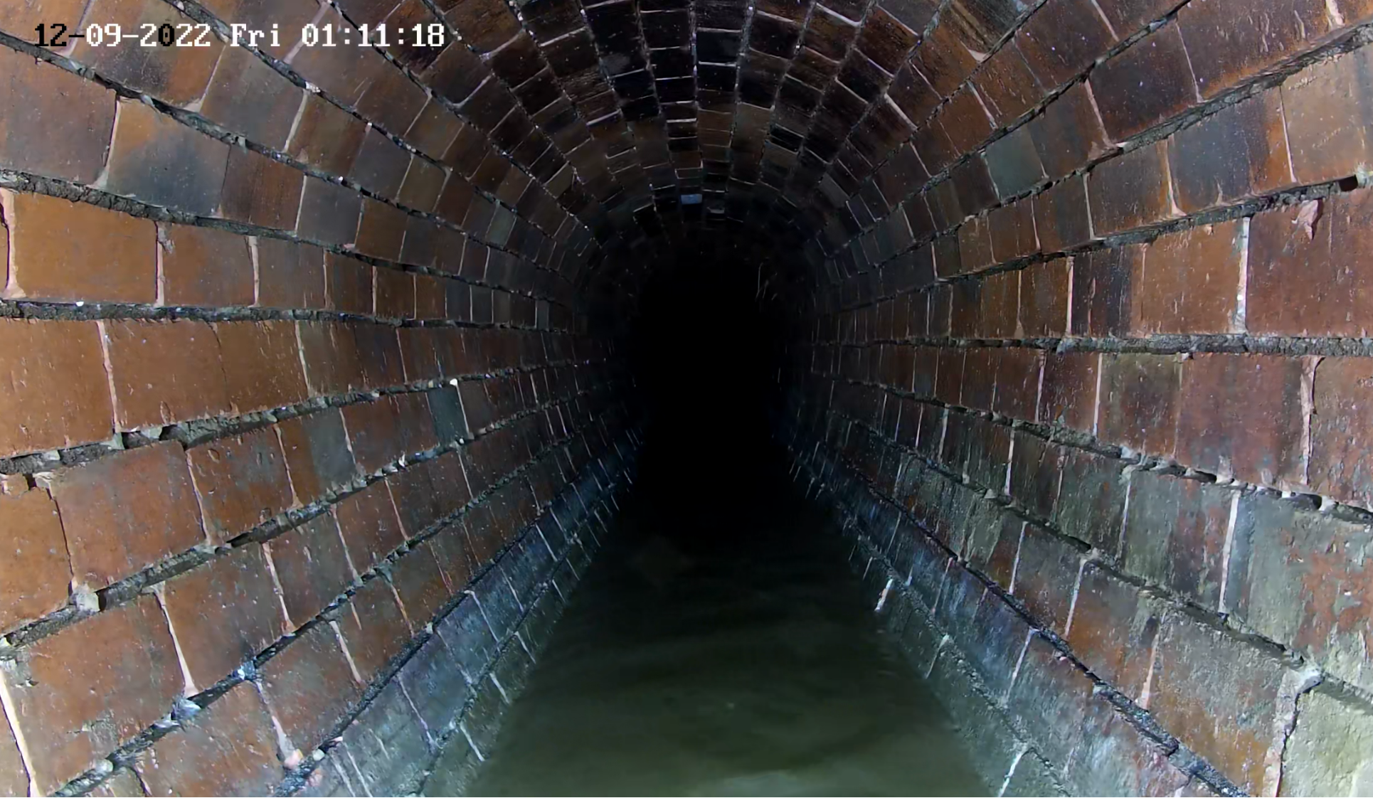
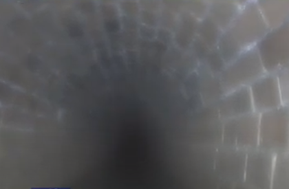
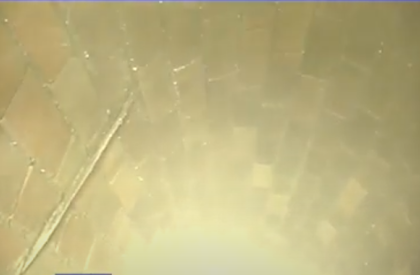
360 Degrees of Freedom at your Fingertips
Go ahead and look around. Our 4k UHD camera allows a full capture of the environment for viewing as an image snapshot and even the videos through our custom user interface.


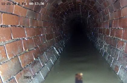
Comparing Technology
R.O.G.E.R. Front View
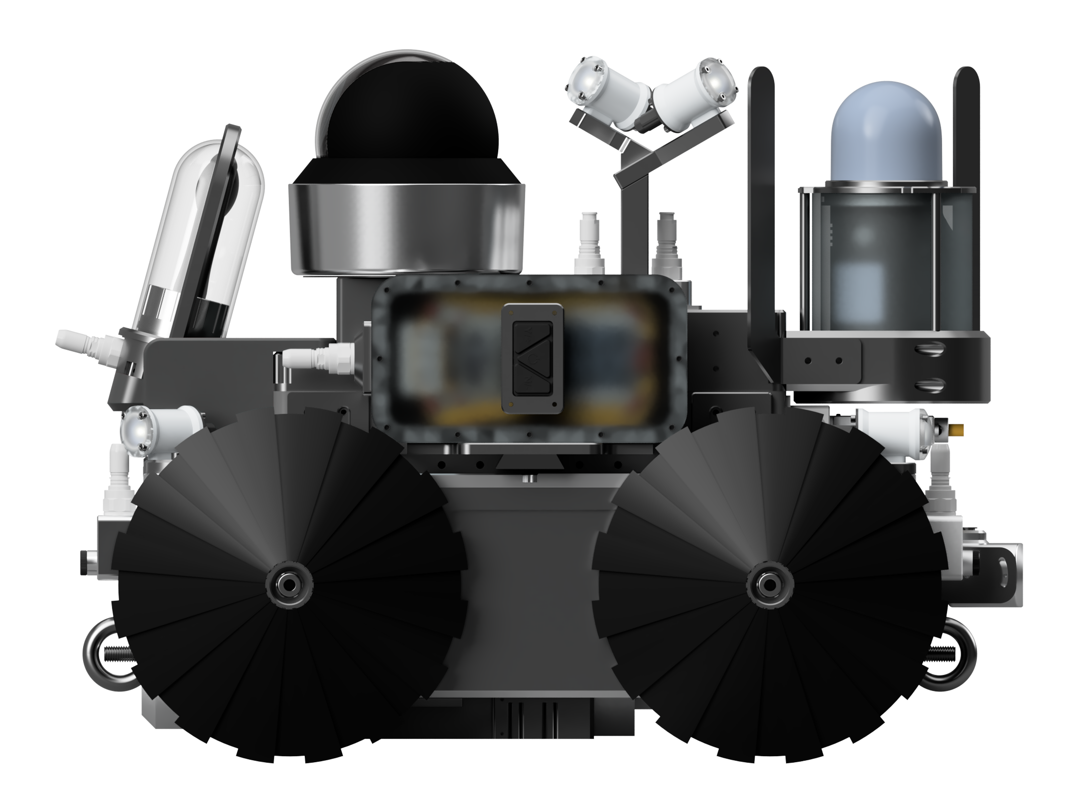
R.O.G.E.R. Detail Panoramic View
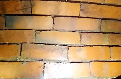
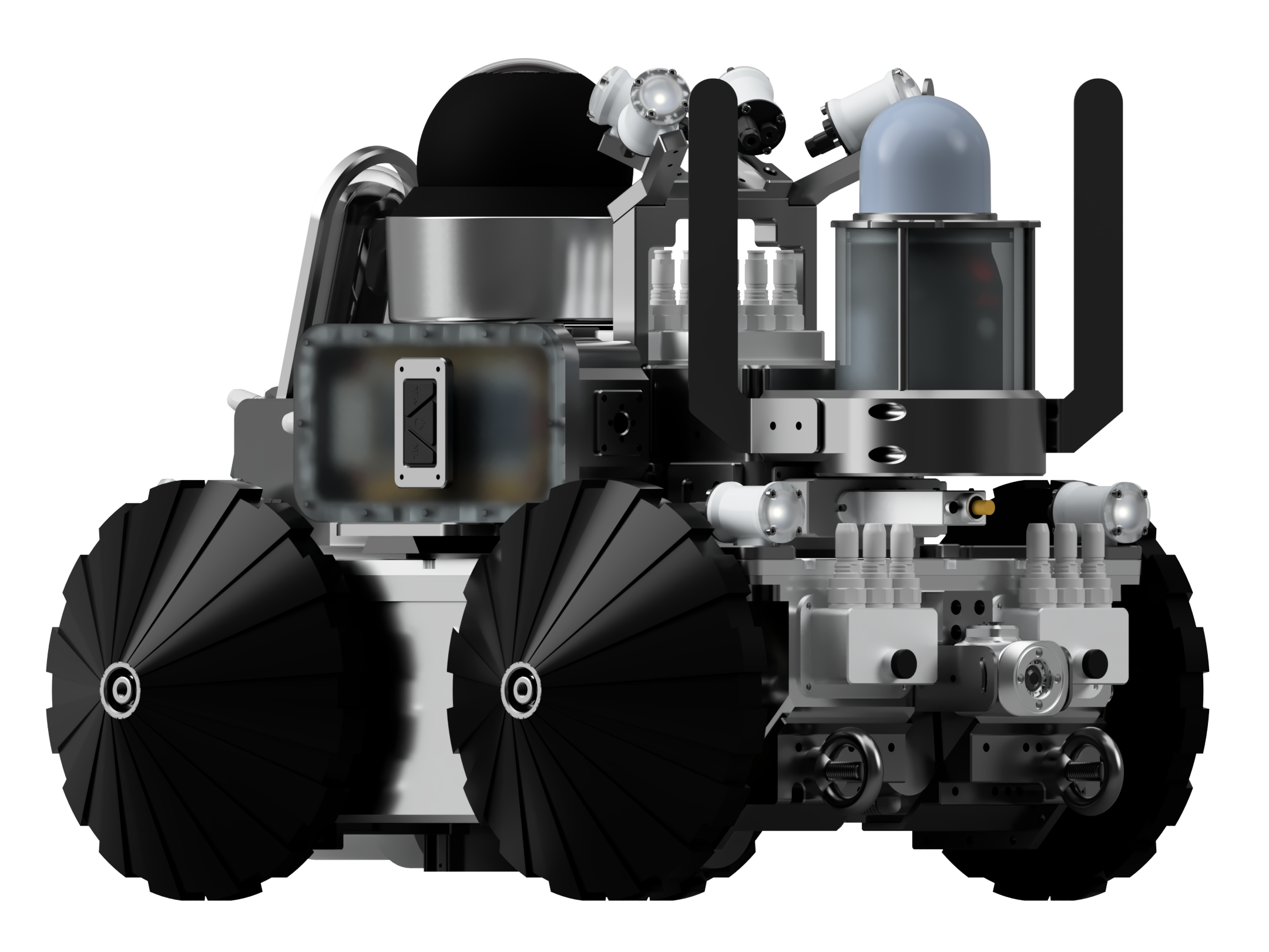
R.O.G.E.R. Detail Level
Competitor's Front View
Competitor's Panoramic View
Competitor's Detail Level